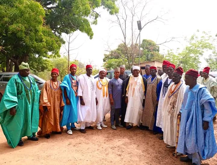
Dekina is a local government area in Kogi State, Nigeria. Its headquarters are in the town of Dekina, on the A233 highway in the Middle Belt area at 7°41′41″N 7°01′20″E.
The northeasterly line of equal latitude and longitude passes through the southeast of the LGA.
It has an area of 2,461 km2 (950 sq mi) and a population of 260,312 at the 2006 census.
The postal code of the area is 272.
Climatic Condition
With a year-round temperature range of 64°F to 93°F and a wet season marked by overcast skies and a dry season marked by humid skies, the climate is hot and oppressive.
References
Further reading
- Falola, Toyin (25 September 2009). "Colonialism and Violence in Nigeria". Indiana University Press. p. 103 – via Google Books.


/bnn/media/post_attachments/content/uploads/2024/01/john-urah-ikani-20240102201919.jpg)